

manasib, a company specializing in 3D scanning, aerial photography, and underground service detection, prides itself on quality and precision. With an enthusiastic team, we strive to earn our clients trust by offering innovative solutions for major projects.
We are more than just a surveying team, our team of professional land surveyors passionate about one thing, our commitment to provide our clients, with certainty they can trust every time.

about one thing, our commitment to provide our clients, with certainty they can trust every time.
We are more than just a surveying team, our team of professional land surveyors passionate
about one thing, our commitment to provide our clients, with certainty they can trust every time.
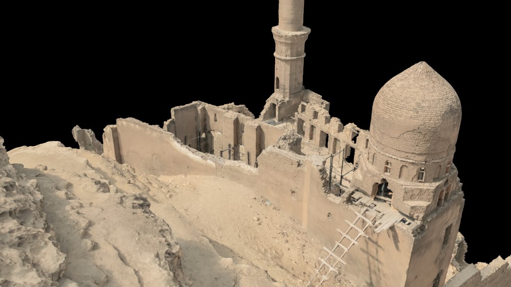
A detailed survey of this archaeological site to restore its integrity and stability
Read More!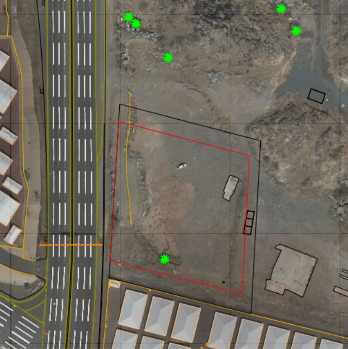
surveying and mapping process for the site to provide and improve the site and way
Read More!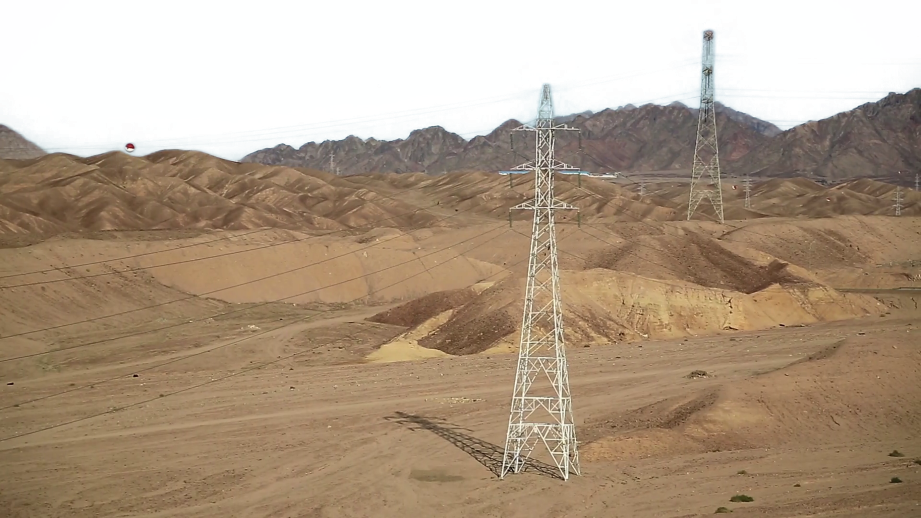
A comprehensive survey combining aerial methods, 3D laser scanning, and ground assessments, utilizing a handheld scanner to evaluate slope stability.
Read More!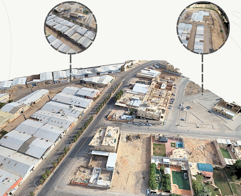
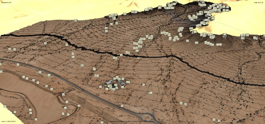
Hybrid As-built aerial survey and ground survey of the project site, to study the stability of the slopes.
Read More!