

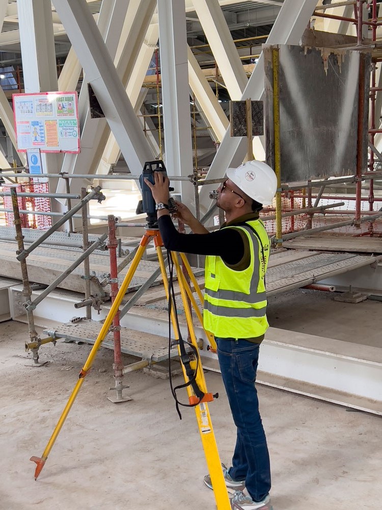
The terrestrial survey provides a comprehensive perspective that assists in identifying potential...
Read More!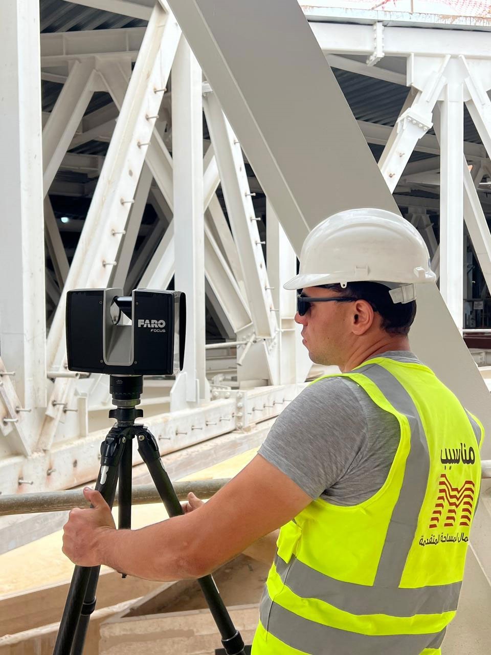
Discover 3D laser scanning technologies with our diverse range of multi-purpose, easily transporta...
Read More!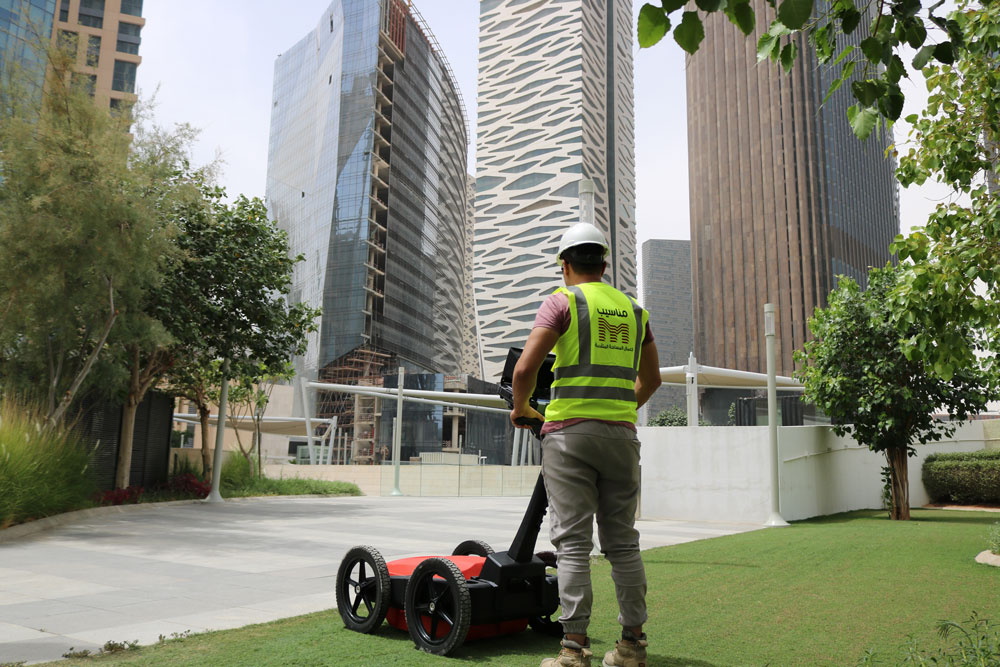
Specialised in precise detecting and mapping for underground utilities, Archaeological Sites, Mili...
Read More!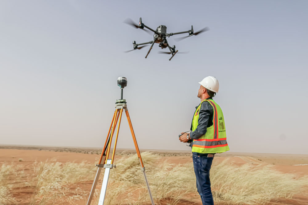
Drone surveying services provide accurate site 3D models and maps, along with comprehensive visual...
Read More!