
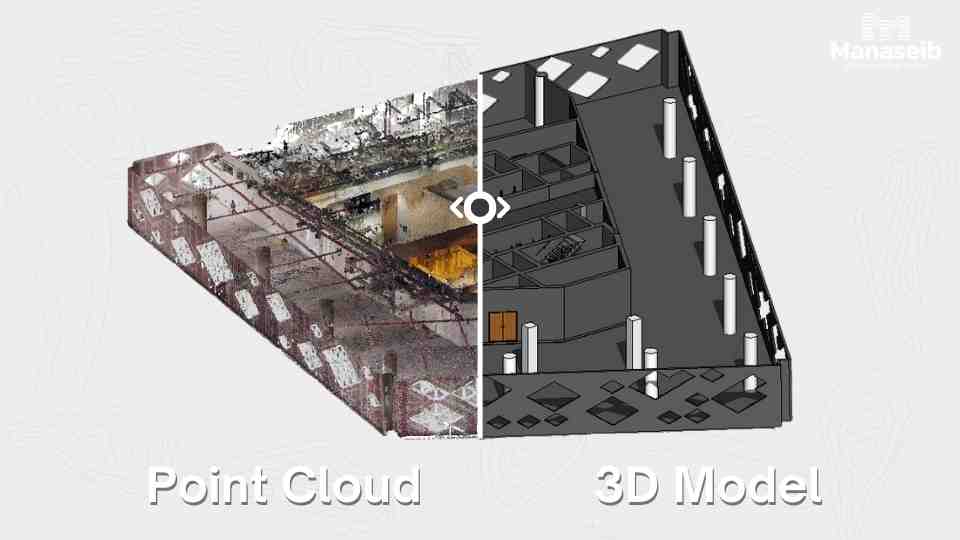
Surveying building 4 floors in King Abdullah Financial District using a FARO 3D scanner.
Read More!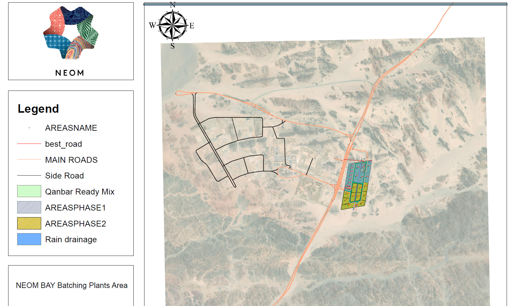
GIS is a powerful tool for analyzing spatial data and making informed decisions by linking data to...
Read More!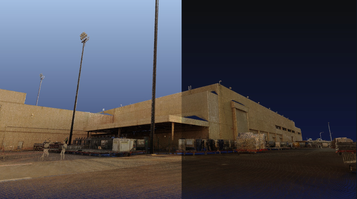
new project upcoming an aerial survey for the exterior of Al Dammam airport for maintenance and re...
Read More!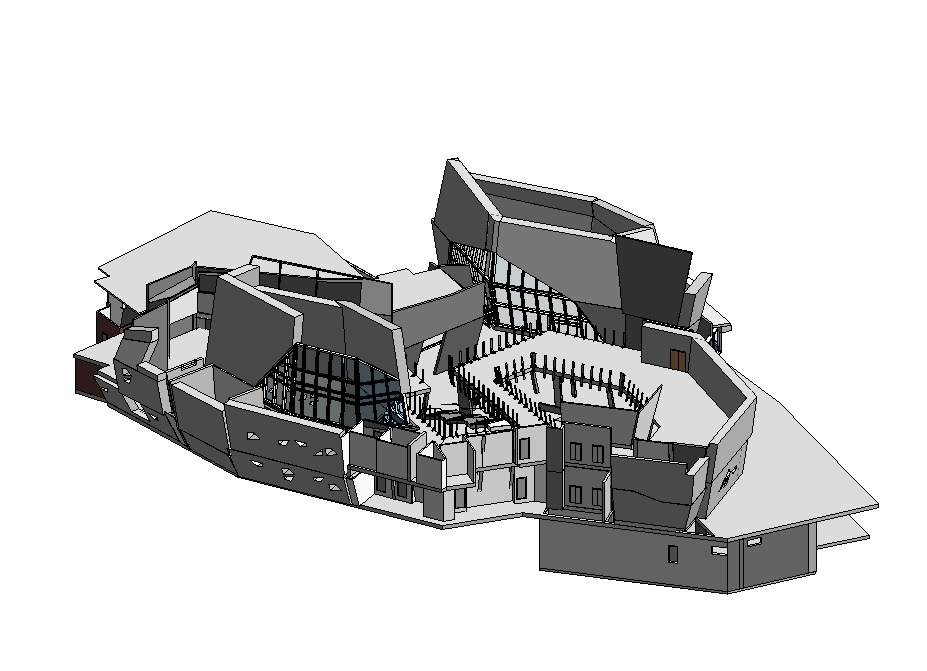
Upcoming Project that we making aerial survey to get a point cloud with real dimension to renovate b...
Read More!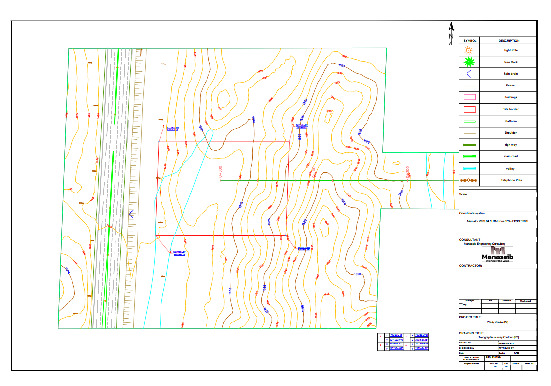
Upcoming Survey of 15 kilometers from wady arada to get contour and grid map by capturing a total of...
Read More!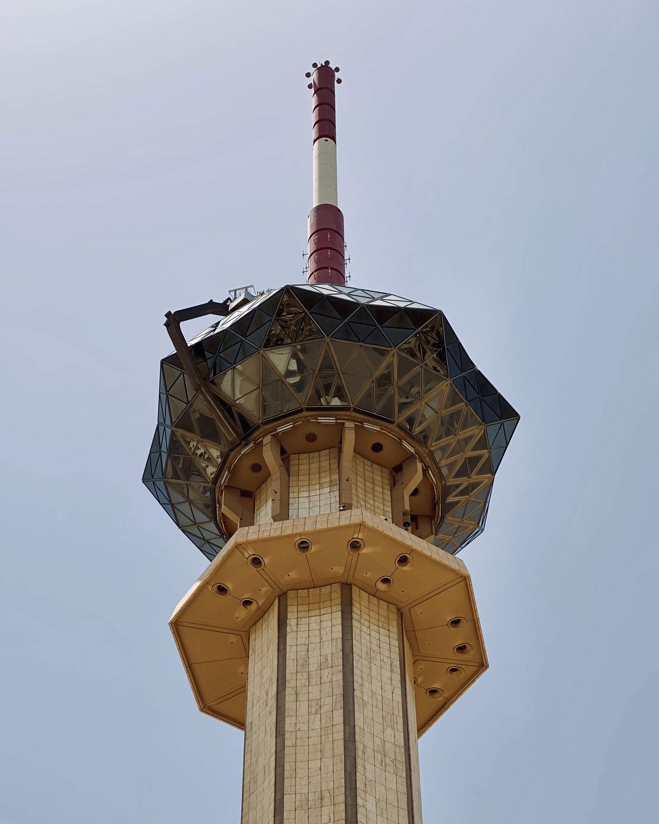
A complete survey of the Radio and Television Corporation buildings and the general location of the...
Read More!