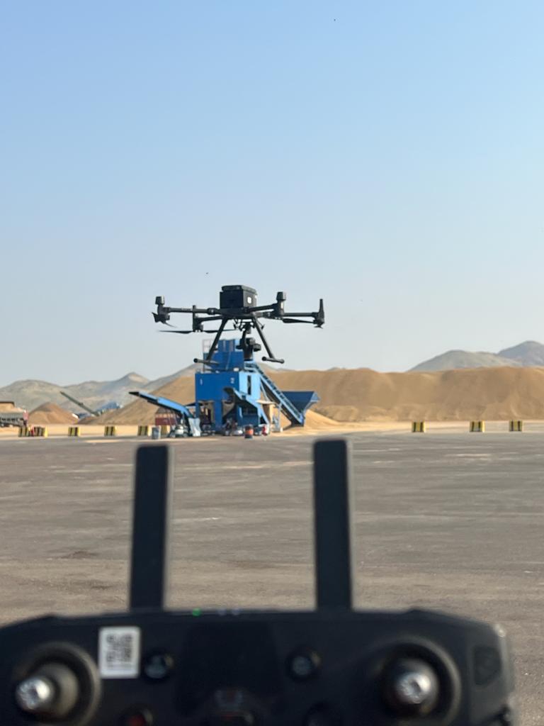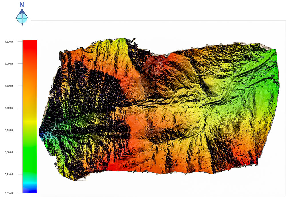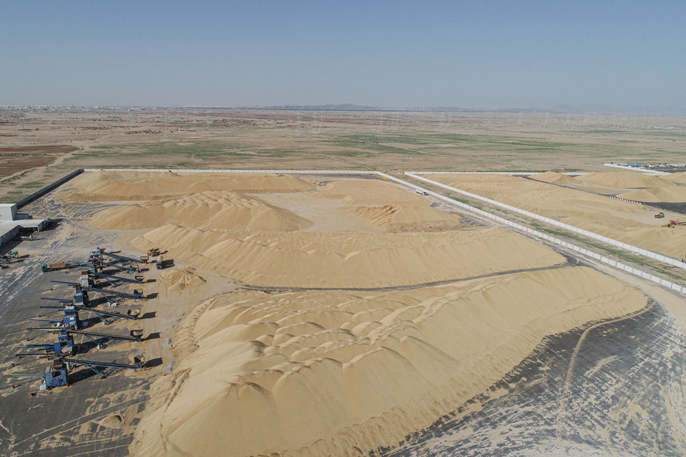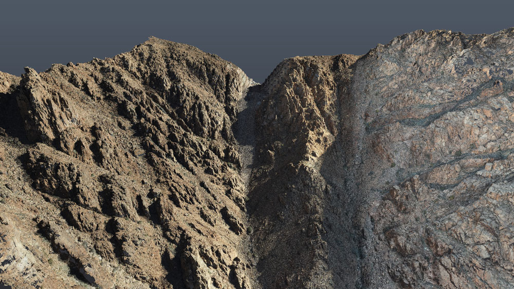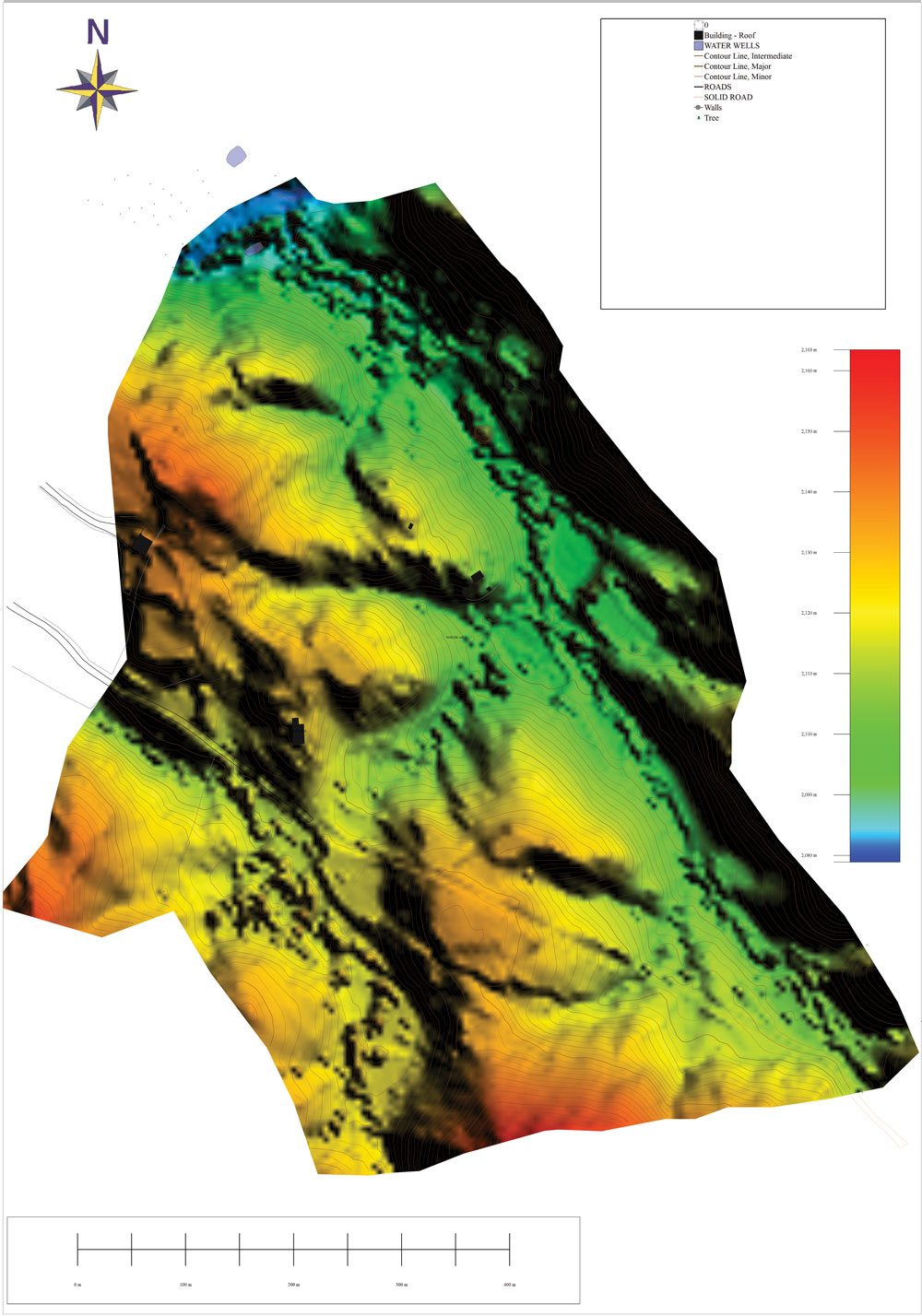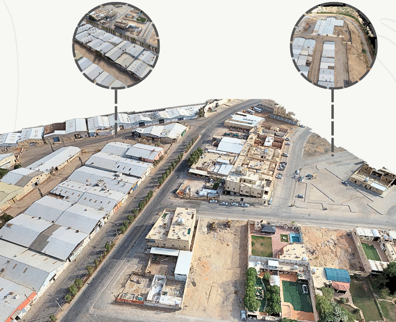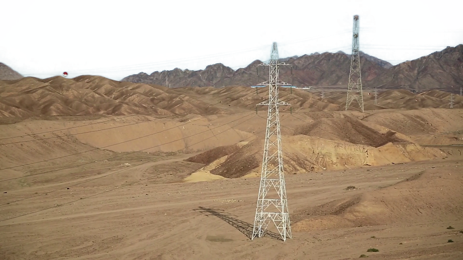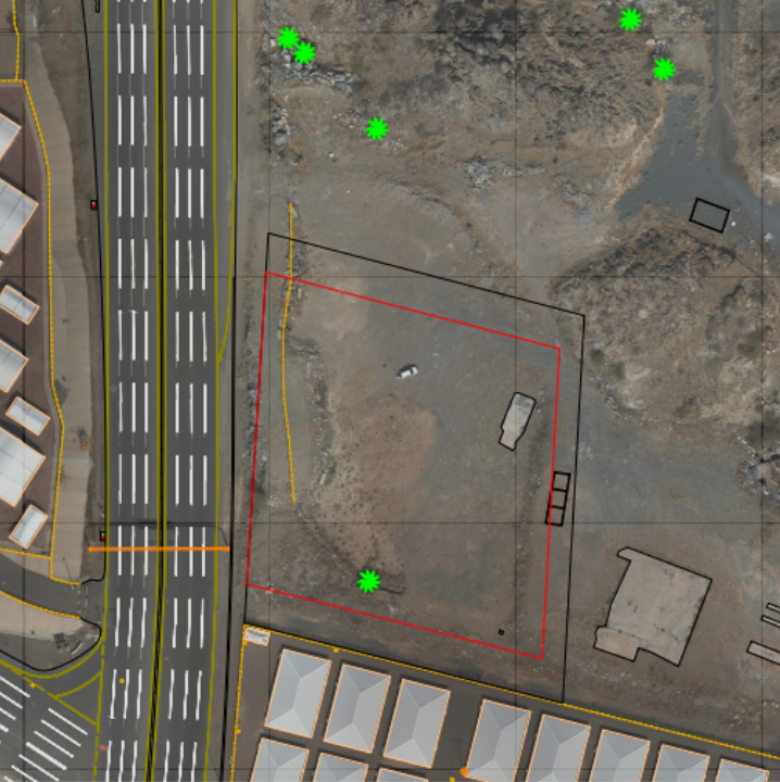

Overview
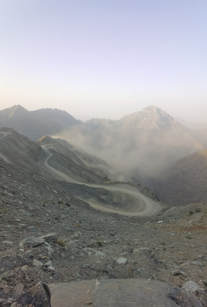
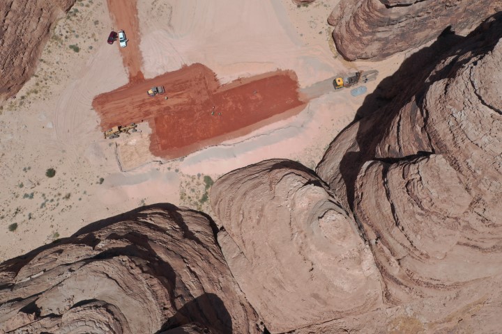
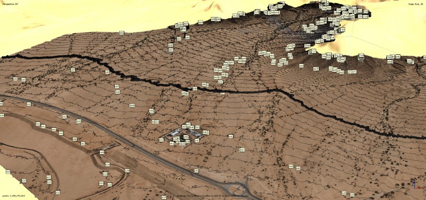
Drone surveying services provide accurate site 3D models and maps, along with comprehensive visualization and precise data for topographic analysis. They are highly efficient in rugged or hazardous areas and can help reduce costs and increase precision compared to human experts. while providing a range of digital outputs that cater to the requirements of project designers, developers and stakeholders.