Overview
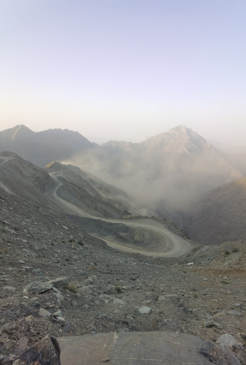
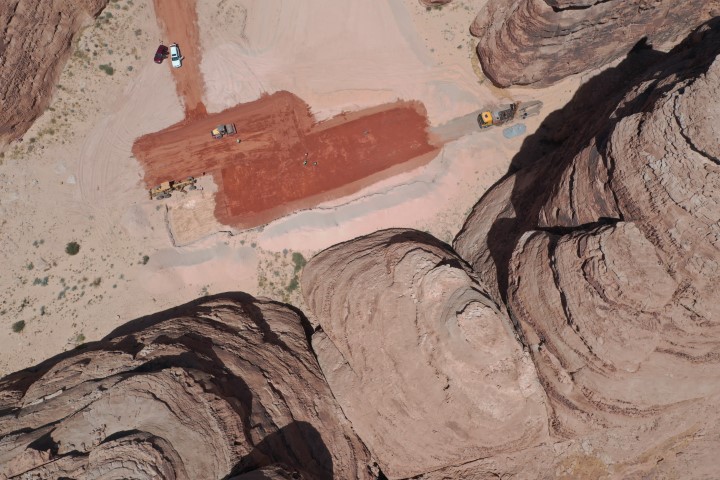
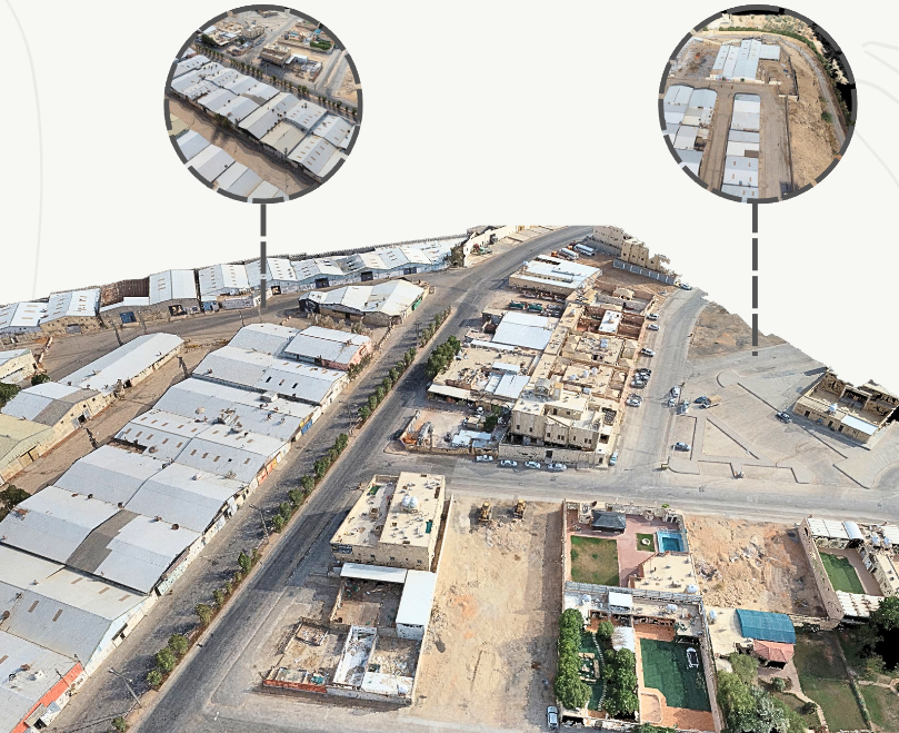
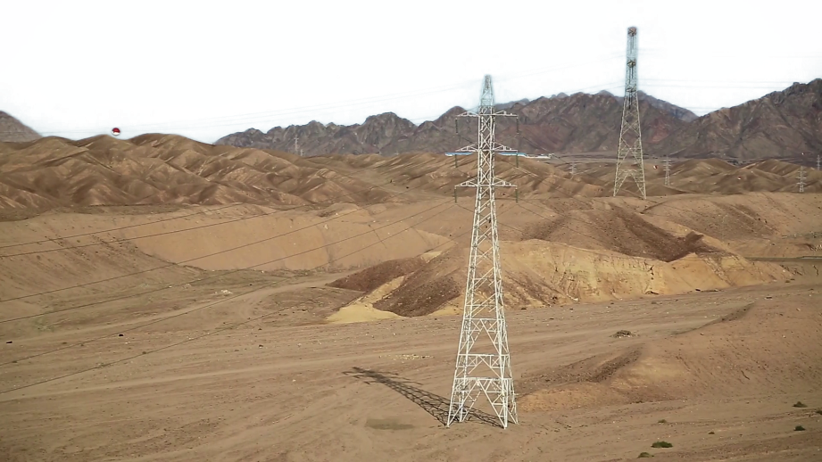
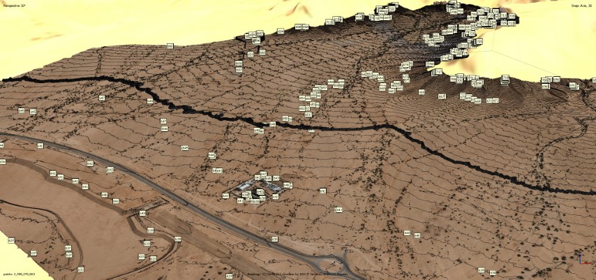
Hybrid As-built aerial survey and ground survey of the project site, to study the stability of the slopes.
DETAILS
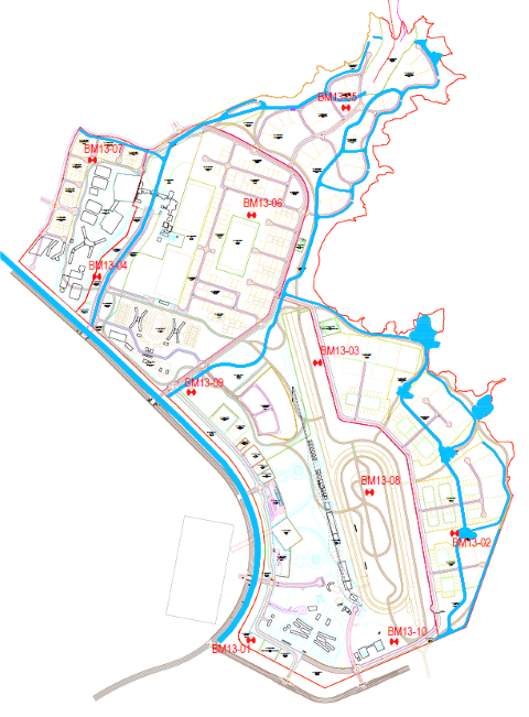
Aerial survey conducted using Matrice 300 RTK drone with Zemuse P1 camera over 7.6 million sqm for precise infrastructure development in Qiddiya City District 13 - Equestrian District.
DELIVERABLES
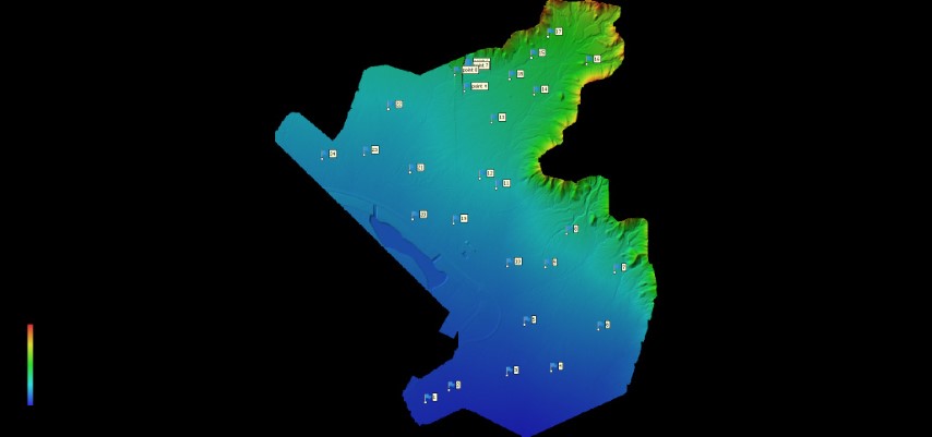
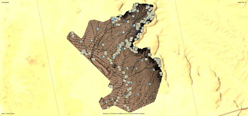
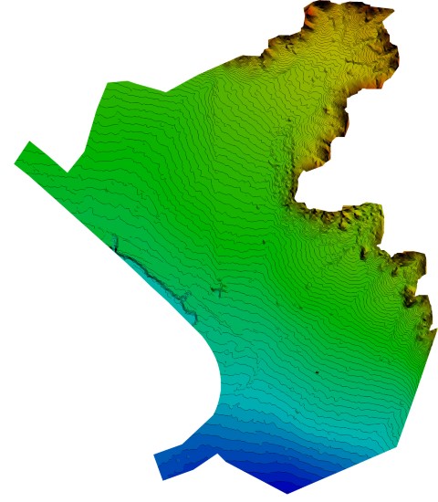
Contour Lines. DSM Model. Topographic Map DTM Model GIS Map
OWNER
Qiddiya
LOCATION
Saudi Arabia, Riyadh
Project Name