Overview
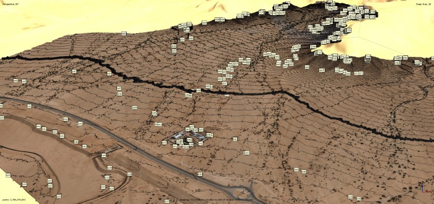
LiDAR Aerial Survey using Drone
DETAILS
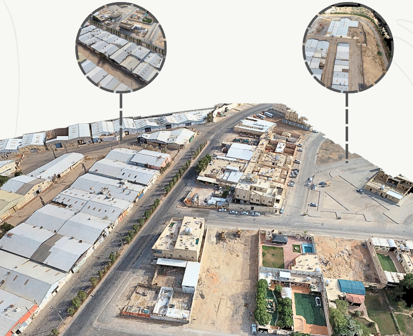
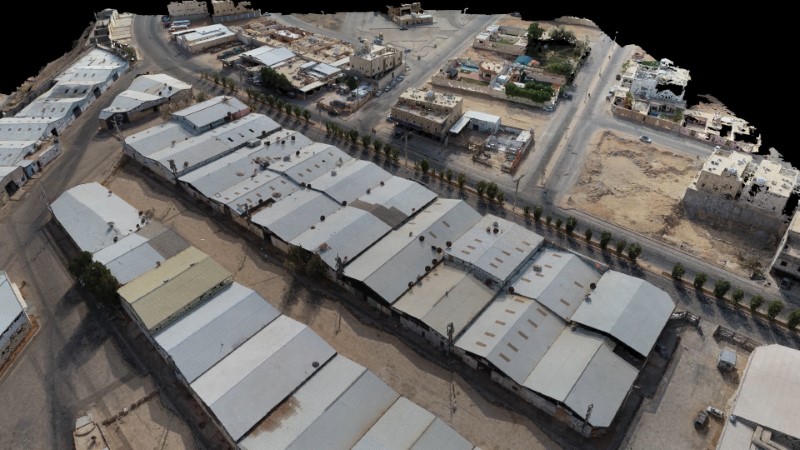
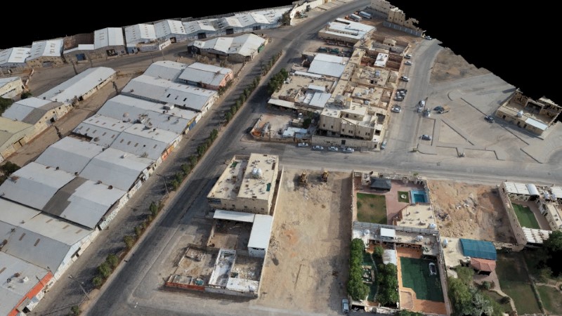
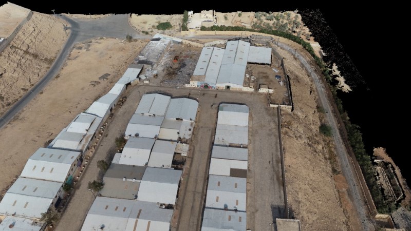
LiDAR aerial survey of an existing industrial zone. The survey will be utilized to create plans drawings of the existing structure and landscape. (GSD 2.6 cm/px).
DELIVERABLES
Point cloud (LAS/DEM) 3d mesh Orthomosaic Contour maps in CAD formats (DXF).
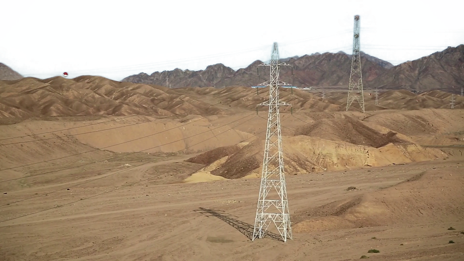
OWNER
Al Bawani
LOCATION
Al Diriyah Industrial zone, Riyadh, KSA
Project Name