Overview
LiDAR Aerial Survey using Drone
DETAILS
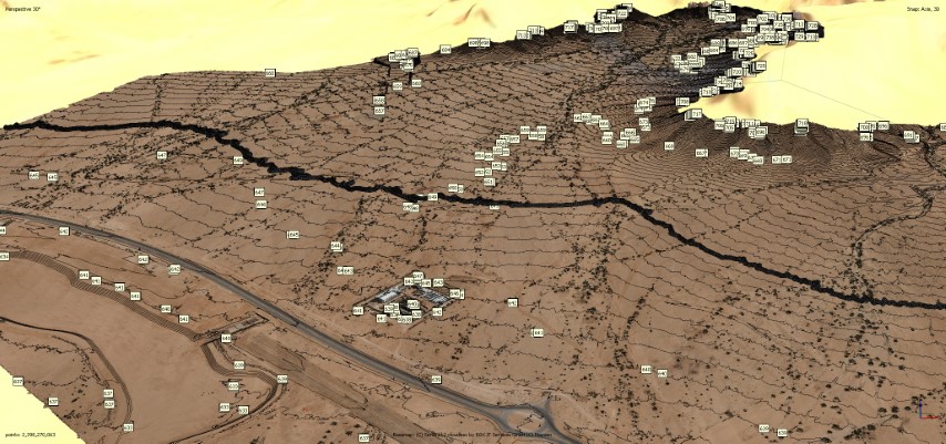
The airborne laser scanner mounted on a drone collects high-precision geospatial data for use in surveying, planning, construction, and mining.
DELIVERABLES
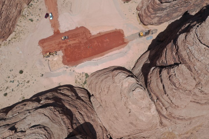
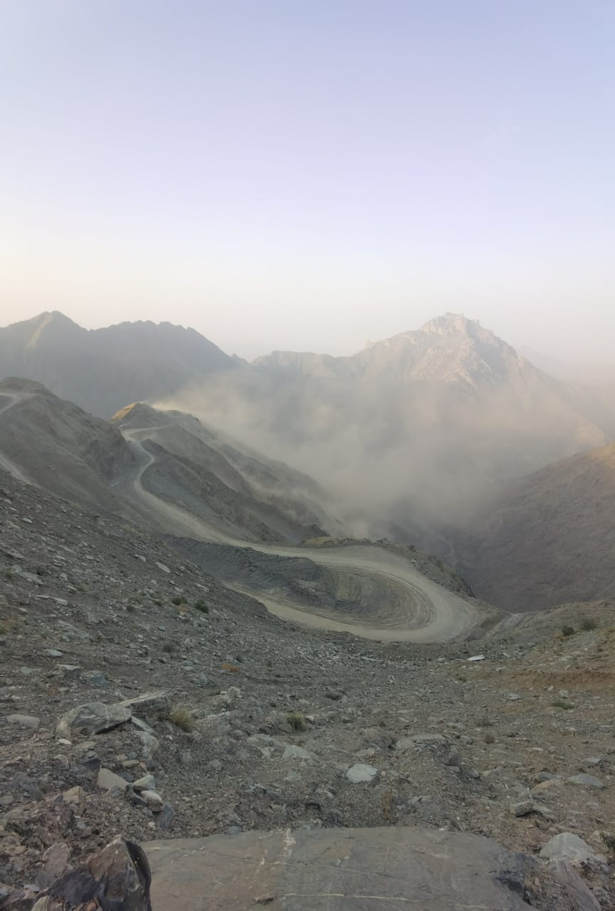
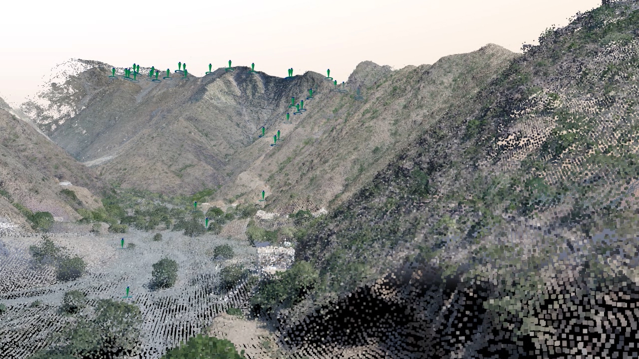
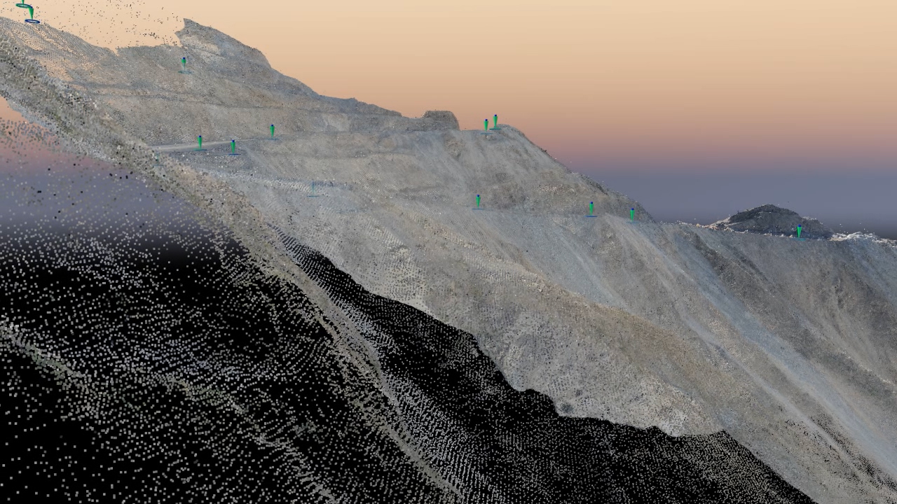
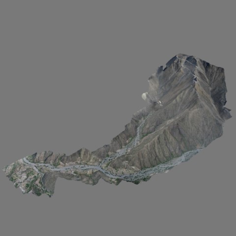
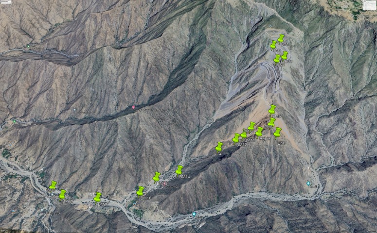
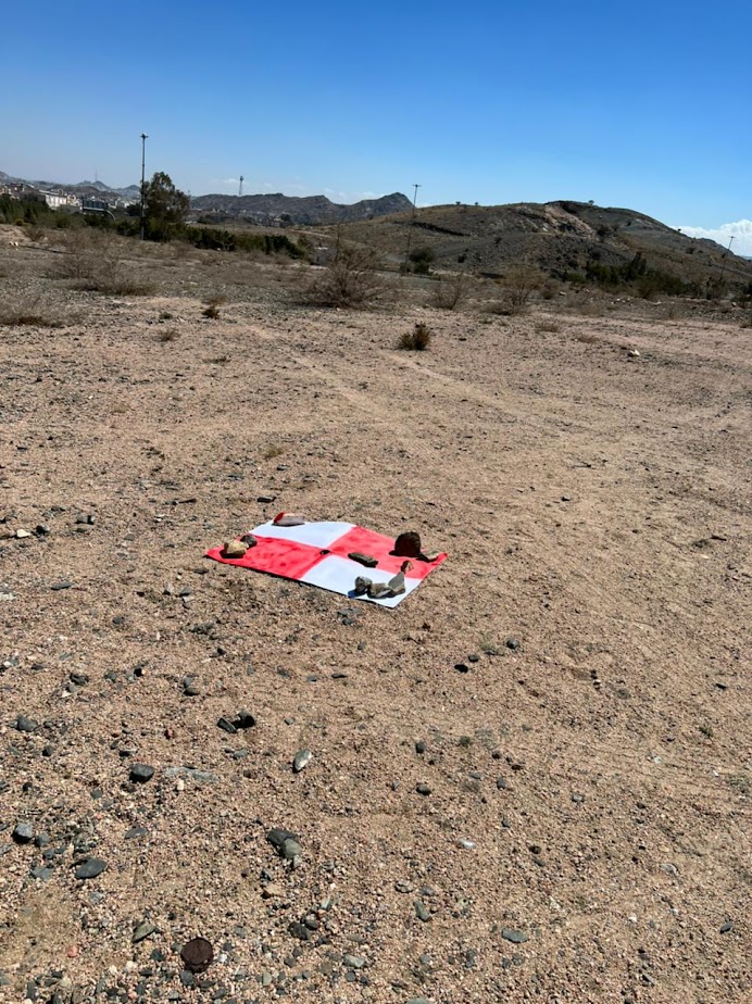
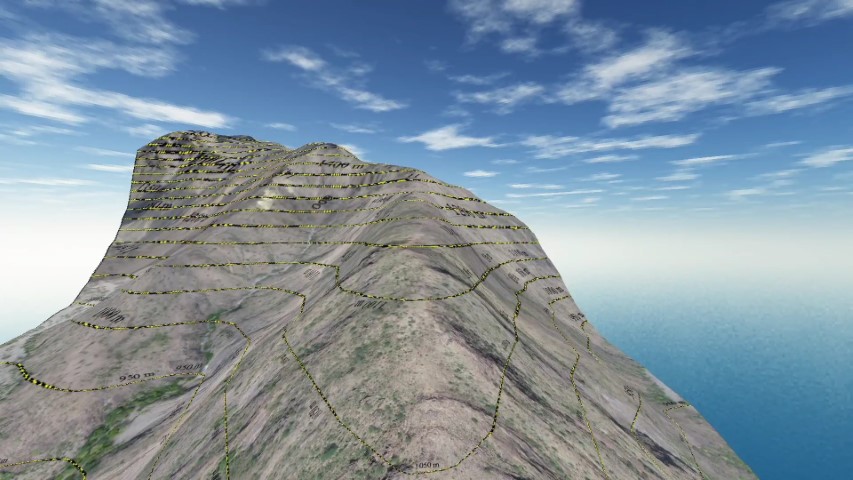
LiDAR aerial survey of a land area of 3600000 sqm the purpose of this survey is to make complete study of the area for intended road development. The road will connect between mountain peak and the steeply graded valley below. 20 benchmarks point were created for the sake of this study and future execution of the road, GSD 3.3 cm/px.
OWNER
SAUDI TECH
LOCATION
Al Bahah, KSA
Project Name