Overview
A comprehensive survey combining aerial methods, 3D laser scanning, and ground assessments, utilizing a handheld scanner to evaluate slope stability.
DETAILS
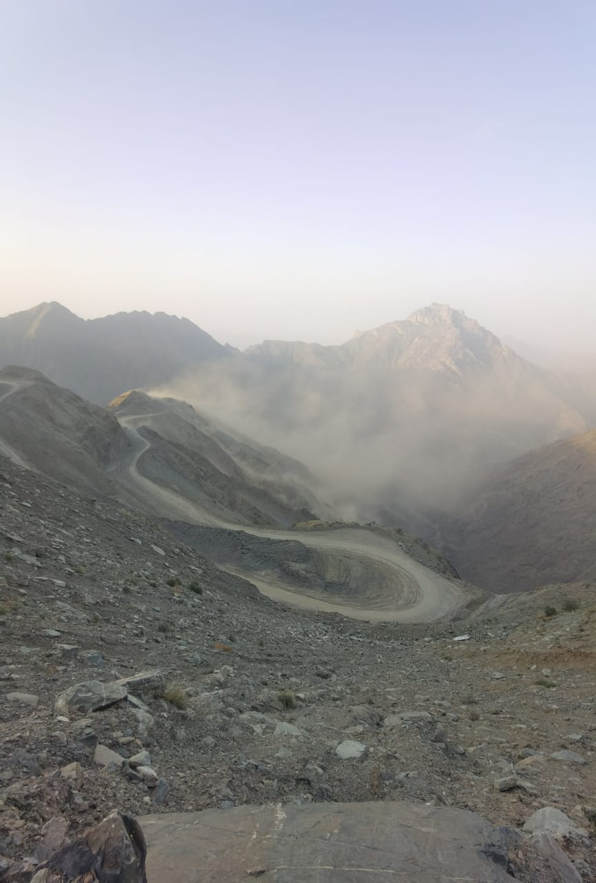
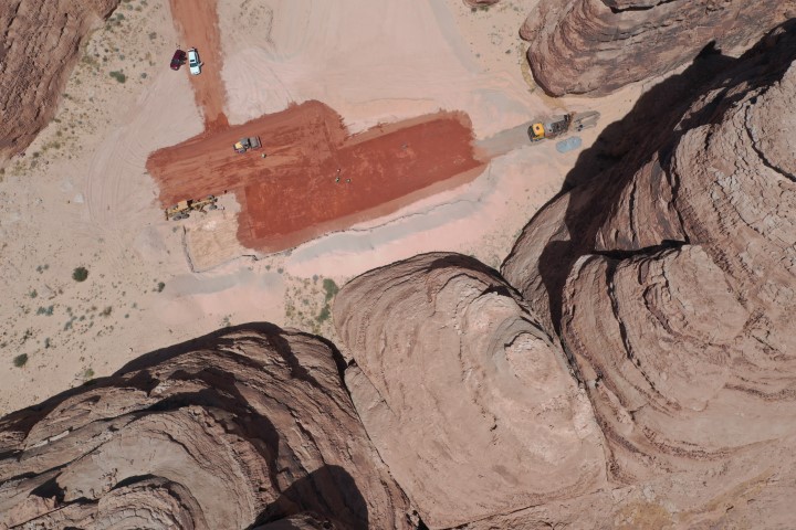
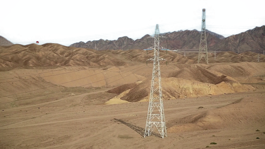
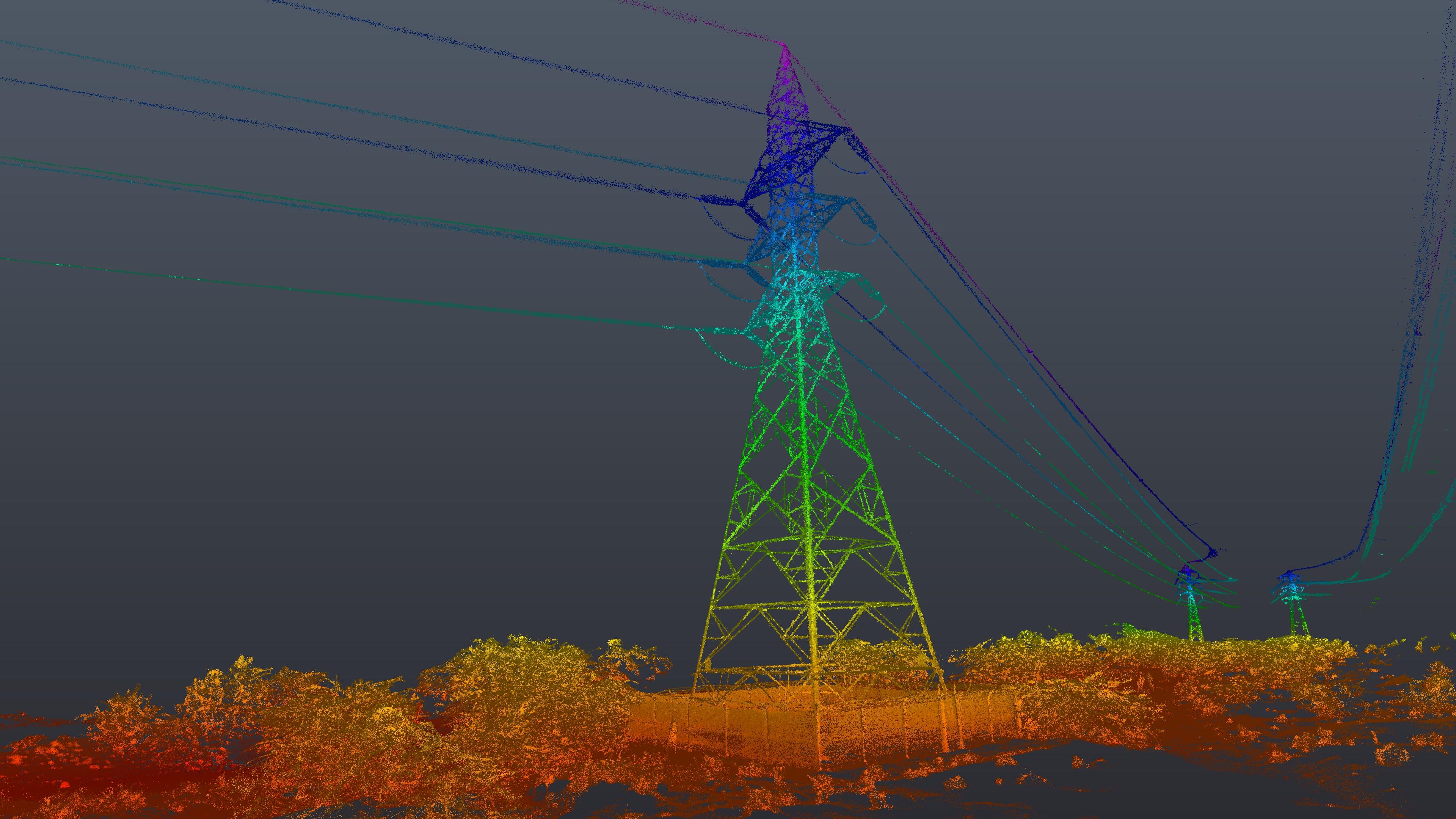
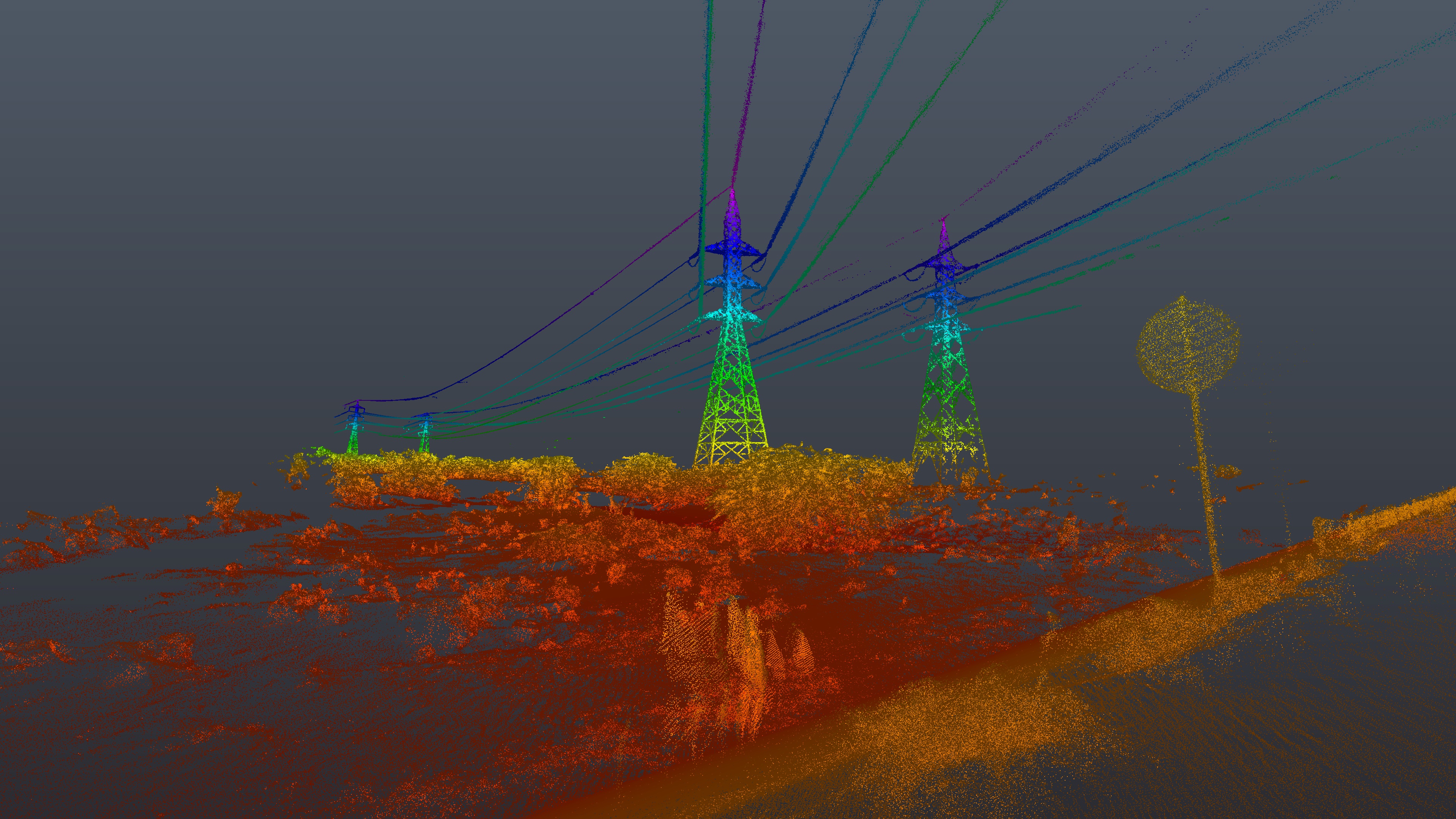
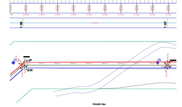
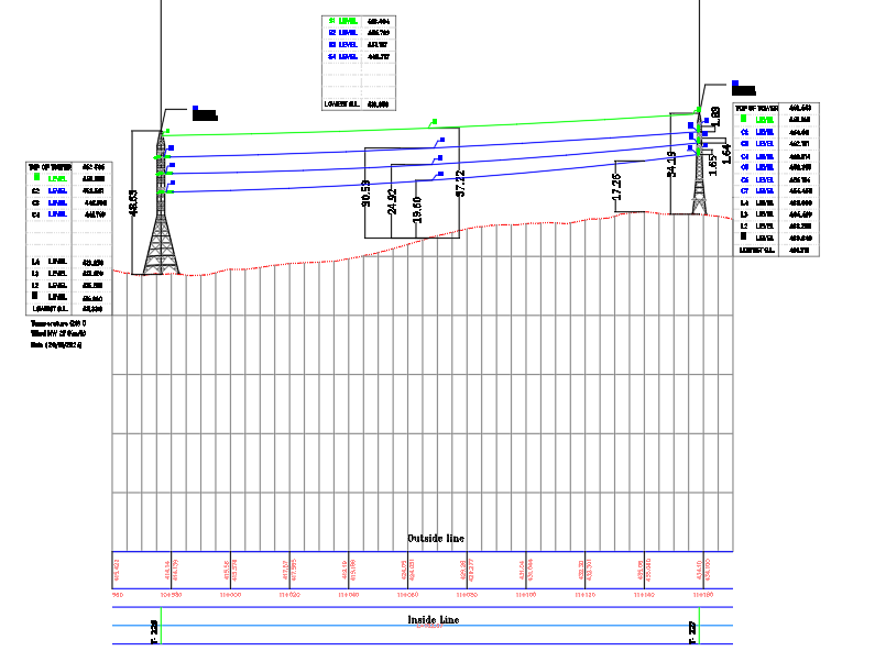
An aerial survey was conducted using a Matrice 300 RTK drone equipped with a Zenmuse P1 camera, alongside the FJD S1 Hand Scanner, covering a 15 km route of electric towers. This was done to facilitate innovation and maintenance outside the Hajj season.
DELIVERABLES
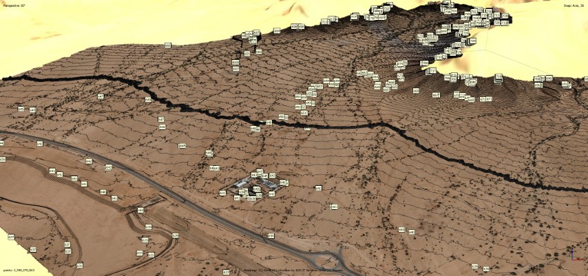
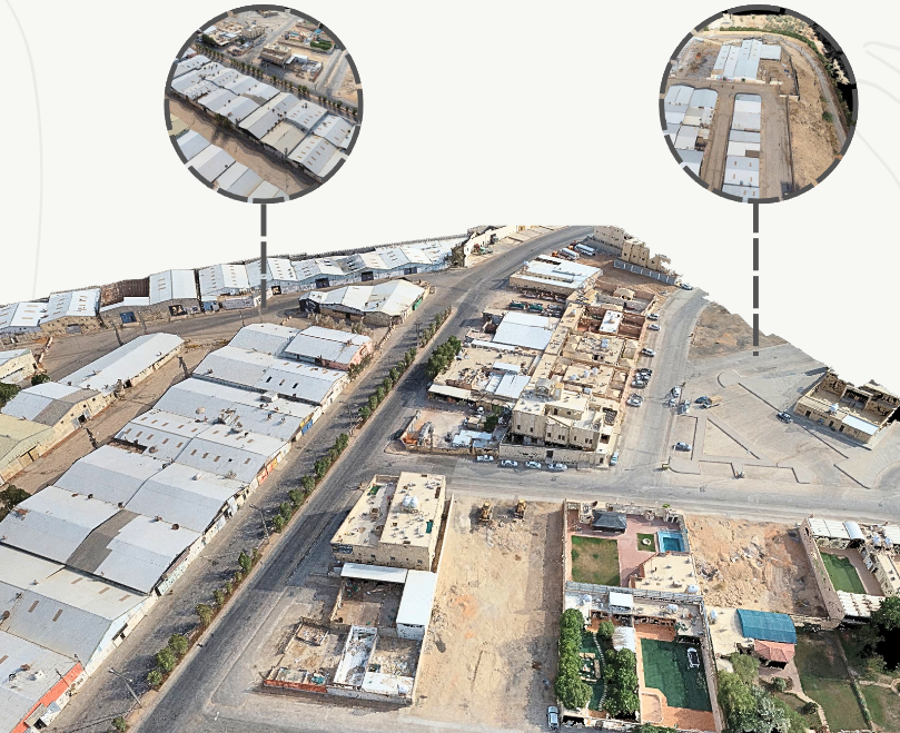
2d Plan for path detailed Elevation Heights Topographic Map Point Cloud
OWNER
Ministry of Hajj
LOCATION
Arafat, Riyadh, KSA
Project Name