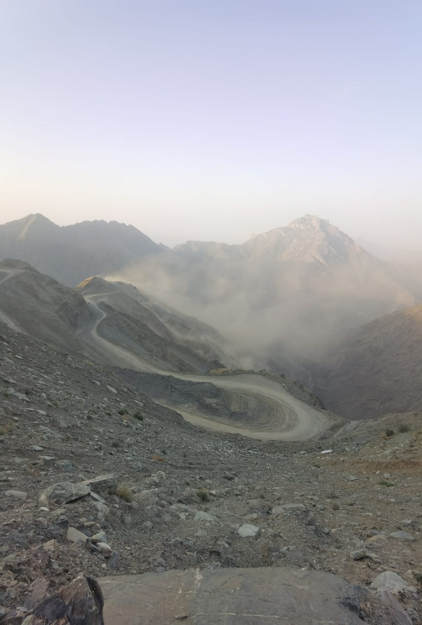
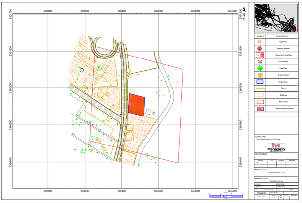
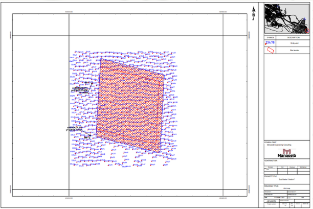
Overview
surveying and mapping process for the site to provide and improve the site and way
DETAILS
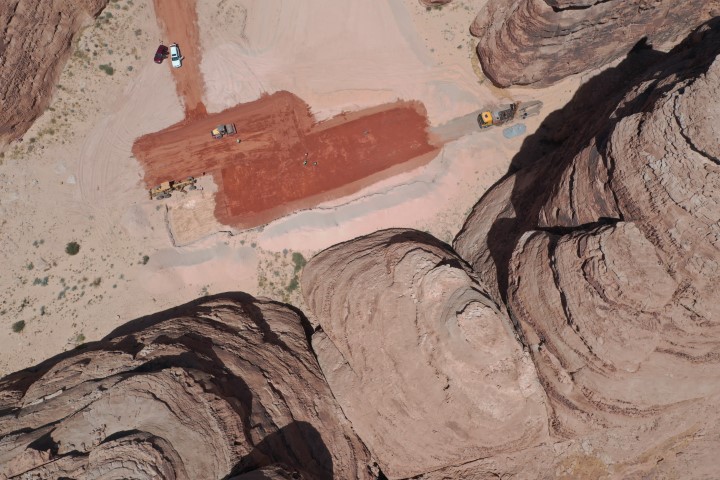
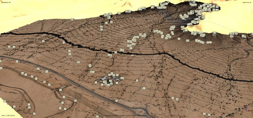
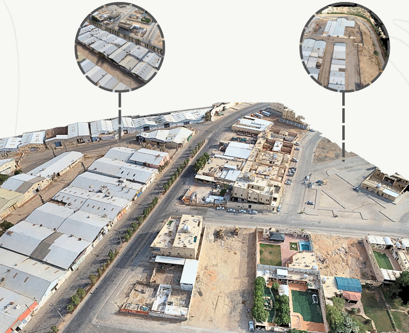
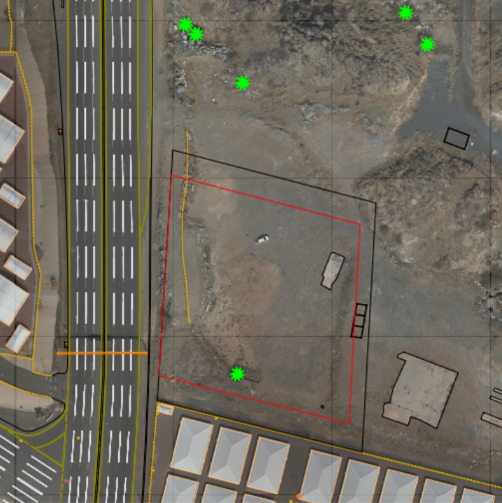
An aerial survey was conducted using a Matrice 300 RTK drone equipped with a Zenmuse P1 camera, alongside the FJD S1 Hand Scanner,
DELIVERABLES
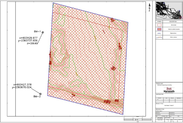
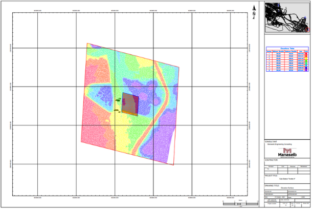
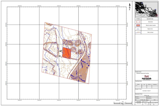
Ortho Map Contour Map Elevations Map Topographical Map Grid Map
OWNER
Ministry of Hajj
LOCATION
Riyadh, KSA
Project Name